Several municipal, county, and Tribal governments in the Reno-Sparks area are collaborating to map urban heat islands in Reno, Sparks, and parts of Washoe County. This initiative is part of a campaign led by the National Oceanographic and Atmospheric Administration (NOAA) in partnership with the U.S. Departments of Health and Human Services and Housing and Urban Development.
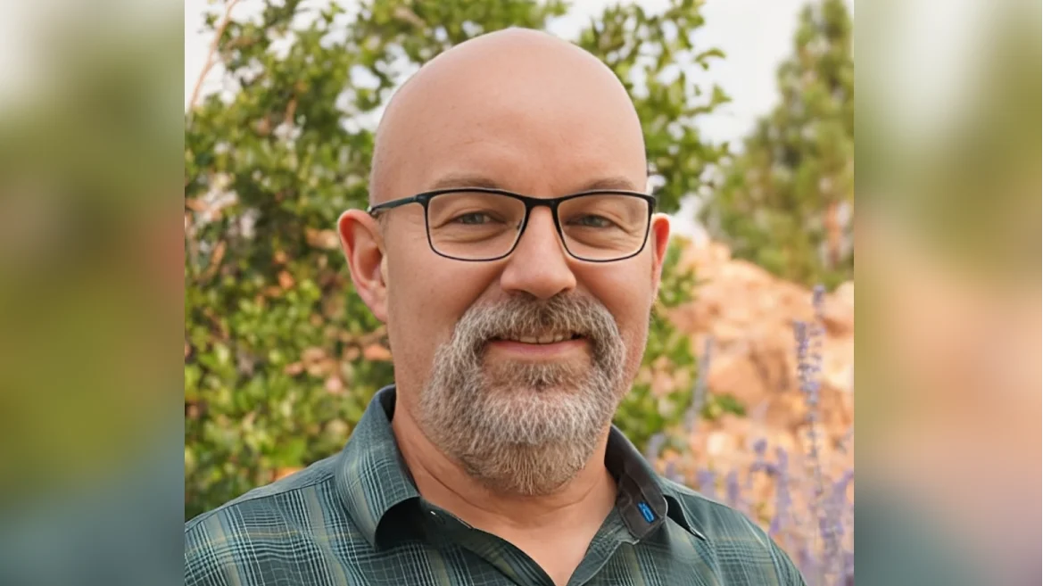
Tom Albright, Nevada State Climatologist and geography professor at the University of Nevada, Reno, explained that "urban heat islands are when urbanized areas have higher temperatures than outlying rural areas." Albright is leading a team comprising various agencies, institutions, and community groups including the University of Nevada, Desert Research Institute (DRI), City of Reno, City of Sparks, Northern Nevada Public Health, Washoe County among others.
Reno has been identified as the fastest warming city in the U.S., posing risks to its communities since heat is a major weather-related cause of death. "Sometimes heat is more of a ‘silent killer’ as it isn’t always obvious to people suffering heat-related illnesses that heat has anything to do with it," Albright noted.
The campaign invites community members to volunteer for data collection during mid-to-late summer. Volunteers will use temperature sensors attached to their vehicles or bikes to gather data across designated routes in Reno and Sparks.
Brian Beffort from Washoe County emphasized the importance of this project: “With Washoe County residents bearing the brunt of rising heat...it’s important to know how and where we can take action.” He added that this mapping exercise would help identify areas most affected by these challenges.
Albright highlighted that “engaging in solutions-oriented community science is a great way to increase public engagement.” The collected data will aid experts in making informed decisions regarding urban planning such as tree planting locations or shade structures.
The campaign aims to support disadvantaged communities particularly affected by high temperatures and poor air quality. John Mejia from DRI mentioned that “this campaign will illuminate considerable variability in surface temperatures across the Reno-Sparks area,” which could lead to discussions on urban environmental equity.
The NOAA Heat Island Mapping Campaign has been operational for eight years globally. Clark County participated previously in 2022. All collected data is publicly accessible via HEAT.gov.
This effort aligns with President Biden's Justice40 initiative aimed at directing 40% of federal climate investment benefits towards disadvantaged communities.
For updates on this project follow #RenoSparksHeatMap on social media or subscribe to related newsletters for broader campaign information using #UrbanHeatMaps2024.


